Enjoy a 12-mile walk along the River Pinn (Pinner) to the Grand Union Canal (Cowley), passing through green spaces, conservation areas and wildlife havens.
Whether you want to walk the whole Celandine Walk route or a smaller section, you can download and print (or save) the relevant route map(s) below and follow these routes at your own leisure.
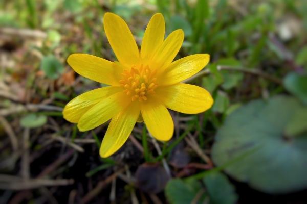
The Lesser Celandine is an early flowering small woodland plant with heart/kidney shaped leaves and solitary flowers with 8 to 12 bright yellow petals, fading white.
Whole route (12 miles)
-
From Pinner Station to the Grand Union Canal (Cowley).
-
Allow about 6 hours to complete the route, which can be walked in either direction.
-
Public toliets and train stations are marked on the map and along the walk are signs and waymark posts with the celandine symbol.
-
Nearest train stations to start/finish: Pinner Station and West Drayton Station.
Route 1 to 8 (2.7 miles)
-
From Pinner Station to King's College Playing Fields (Eastcote).
-
Passing the 14th century Church of St John the Baptist, Pinner Memorial Park, Heath Robinson Museum, the wonderful restoration of West House - the home of Nelson Ward, grandson of Lord Nelson, Eastcote House Gardens (pictured right), Haydon Hall Grounds and King's College Playing Fields.
-
Nearest train stations to start/finish: Pinner Station and Ruislip Manor Station.
-
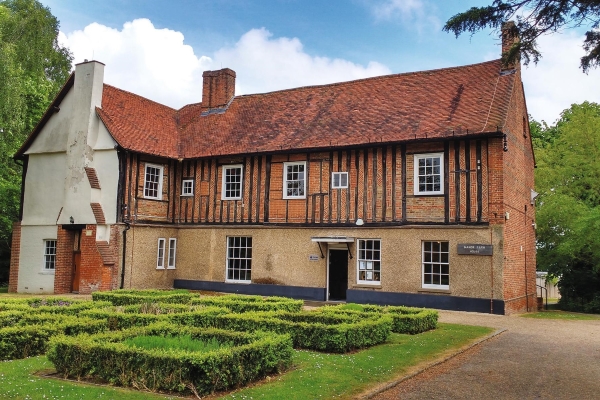
Manor Farm, Ruislip
Route 8 to 14 (3 miles)
-
From King's College Playing Fields (Eastcote) to Swakeleys Park (Ickenham).
-
Passing Manor Farm Site (pictured right), Pinn Meadow, Ruislip Golf Course, Pynchester Moat, Ickenham Pond and Village Pump and Swakeleys House.
-
Nearest train stations to start/finish: Ruislip Manor Station and Ickenham Station.
Route 14 to 18 (3.3 miles)
-
From Sakeleys Park (Ickenham) to Kingston Lane (Uxbridge).
-
Passing Swakeleys House, Hillingdon House Farm and Dowding Park (pictured right).
- Nearest train stations to start/finish: Ruislip Manor Station and Ickenham Station.
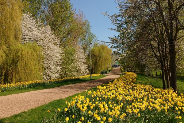
Dowding Park, Uxbridge
Route 18 to 21 (3 miles)
-
From Kingston Lane (Uxbridge) the Grand Union Canal (Cowley).
-
Passing St Laurence Church and Pield Heath Playing Fields.
-
Nearest train stations to start/finish: Uxbridge Station and West Drayton Station.